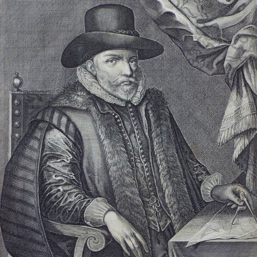
 |
Thomas Jefferys
| Engraver, Cartographer
Copper line
English. b.1719 d.1771
Further info: BM Wikipedia
Alexander: p. 501 |
| Antique maps by Thomas Jefferys. |
|
| Related Items:
As Cartographer: 16
As Engraver: 17 |
|
 | |
 | |
 | |
 | |
 | |
 | |
 | |
 | |
 | |
 | |
 | |
 | A Plan of Dunkirk as first walled round in 960.
A Plan of Dunkirk as first Fortified in 1400.
A Plan of Dunkirk as it was Fortified in 1658.
Ref: P/28284
Categories: Maps / Dunkerque / Dunkerque
Medium: Copper
Engraver: Jefferys T
 |
|
 | |
 | |
 | |
 | |
|
|
|
Badeslade, Thomas
Blaeu, Joan 1596-1673
Blome, Richard 1635-1705
Bowen, Emanuel 1693c-1767
Cary, John 1754-1835
Collins, Greenvile 1643-94
Delisle, Guillaume 1675-1726
Jansson, Jan 1588-1664
Jefferys, Thomas 1719-71
Kitchin, Thomas 1718-84
Mercator, Gerardus 1512-94
Merian, Matthaus 1593-1650
Moll, Herman 1654?-1732
Morden, Robert 1650?-1703
Norden, John 1547?-1625
Ogilby, John 1600-66
Ortelius, Abraham 1527-98
Rocque, John 1604c-1762
Russell, John 1750c-1829
Sanson, Nicolas 1600-67
Saxton, Christopher 1540?-1610?
Seller, John 1630-97
Senex, John 1678-1740
Speed, John 1552-1629
Stumpf, Johannes 1500-74 | 11
15
21
24
64
5
5
13
17
56
10
7
11
48
1
5
11
28
2
20
27
4
30
1
436 |
|
|