Home
Visual Search
Slideshows
Rapid Browse
Static Views
Contact
Login
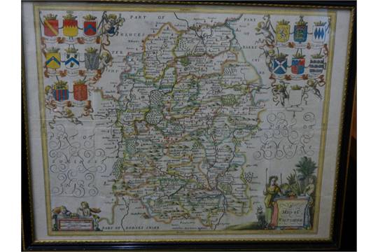
A Map of Wiltshire
www.rareoldprints.com/p/29015
+
-
Wiltshire Maps
reference
wm/12.1
Categories:
Maps
/
Wiltshire
/
Overton / Jansson
Medium:
Copper
Publisher:
Dicey & Co
Date:
1756
From:
Dicey Atlas
Dimensions:
395
x
485
mm
.
Antique Map - "A Map of Wiltshire" published 1756 by Dicey & Co.
I would be interested in acquiring an example of this map
.
Click on image for larger full-screen image
Web References
Year:
1756
en.wikipedia.org

 Click on image for larger full-screen image